Email: engineer@greatvalleyconsultants.com
Need to discuss a project? Contact Us! 1-800-733-4821
Email: engineer@greatvalleyconsultants.com
Need to discuss a project? Contact Us! 1-800-733-4821
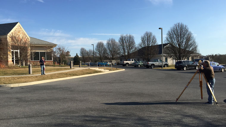
Great Valley Consultants’ employees have over forty years of land surveying experience. Our licensed, professional land surveyors have experience in topographic, boundary, engineering and construction surveying. We employ state-of-the art technology and thorough field practices to meet the demands of each project. Maps and plans are produced using the latest version of AutoCAD and are available in traditional formats as well as on electronic media.
Fill out our form and we’ll be in touch shortly.