Email: engineer@greatvalleyconsultants.com
Need to discuss a project? Contact Us! 1-800-733-4821
Email: engineer@greatvalleyconsultants.com
Need to discuss a project? Contact Us! 1-800-733-4821
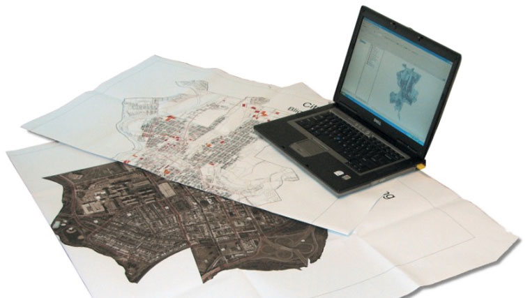
GIS is a data management system that can store, analyze, manipulate and display vast amounts of geographical data from many different sources. The data management process and the final output mapping greatly improve the efficiency and clarity of projects for any organization.
Whether planning a new project or maintaining existing facilities, we can provide a wide range of GIS Services for clients who require the most current maps and accurate area-specific data. GVC is able to perform the necessary research and organization of any pertinent information and provide it in a manner most accessible for the client’s needs.
Examples of types of GIS projects include:
GVC uses the most up to date software including:
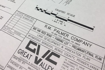
In conjunction with our Surveying Team, GVC can provide complete, in-house, geographic services from the beginning to the end of your project. Complete maps and plans can be provided to our clients in paper or electronic format.
Fill out our form and we’ll be in touch shortly.